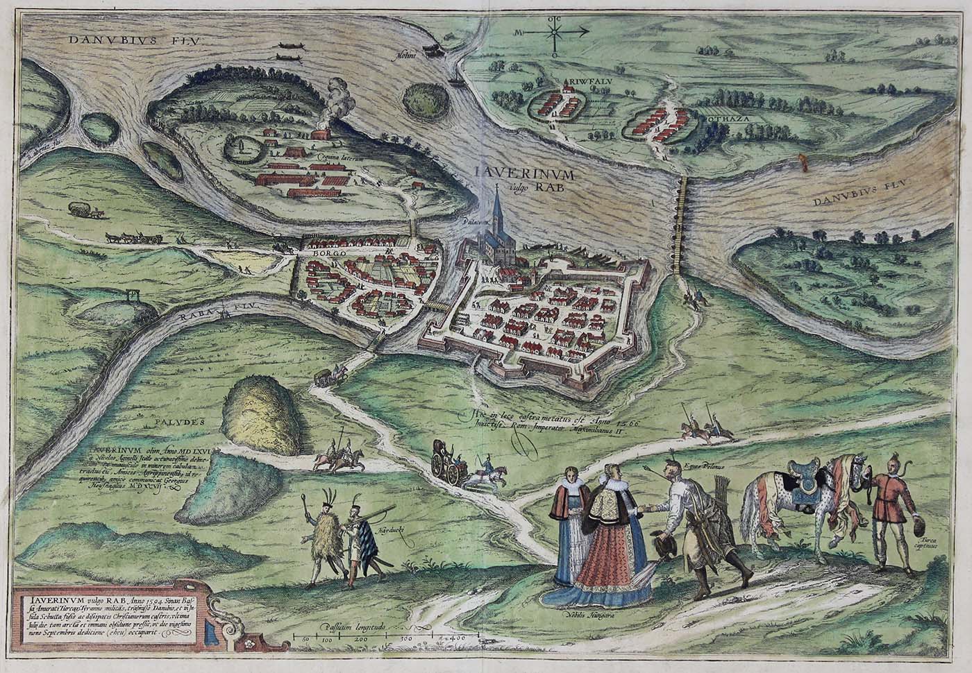
Györ, Hungary Map, 1598, Georg Braun and Frans Hogenberg, hand-colored engraving, 16.375 inches high, Jeffery M. Leving, 2014.17.49.
A bird’s-eye view of Györ in Hungary, which lies southeast of Bratislava at the confluence of the Raba and an arm of the Danube, clearly showing the bastioned fortifications and the bishop’s palace (Palatium). The captions make reference to historical events, such as that in the centre: “Here the Roman Emperor Maximilian II marked out an impregnable camp in the year 1566”.