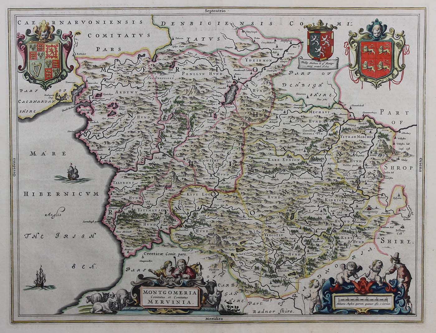
“Montgomeria Comitatus et Comitatus Mervinia,” Joan Blaeu (Dutch, 1596-1673), 1662-1665, hand-colored copperplate engraving, Gift of Jeffery M. Leving, 2014.21.28.
To the emerging mercantile classes and businesses of the Netherlands in the seventeenth century, mapping out the world became an astute necessity and a curious fascination. This map depicts the western Welsh counties of Montgomeryshire and Merionethshire alongside their appropriate family coat of arms. It was published in Joan Blaeu’s cartographic magnum opus, the “Atlas Maior,” most likely in 1662. The “Atlas Maior” was transcribed in Latin, French, Dutch, German, and Spanish and contains 594 maps and around 3,000 pages of text. Blaeu’s prestigious position as head cartographer for the Dutch East India Company (from 1638 until his death in 1673) made the “Atlas Maior” the most desired atlas of the seventeenth century, and by extension, the most expensive.